Automatic building staggering on existing topography
Posted 03/26/2025 in Technology
Discover how to quickly import the environment and enhance building design with automatic staggering based on existing topography, all thanks to the new OpenStreetMap integration in ARCHITEChTURES.
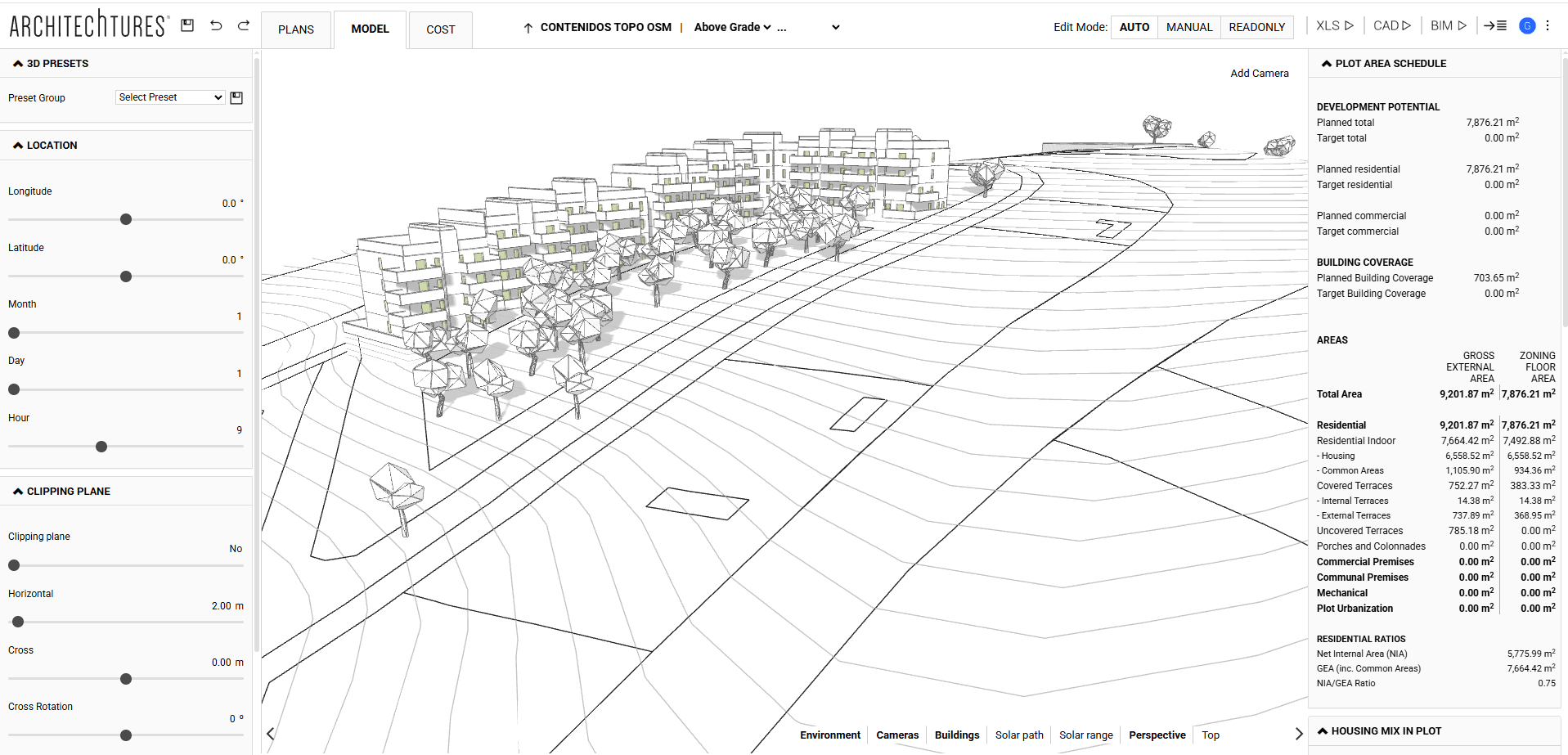
This new feature allows for the instant and easy import of the full project context without the need to create complex CAD files beforehand. The integration of OpenStreetMap (OSM) in ARCHITEChTURES marks a turning point in how architectural projects interact with their surrounding environment. The process is as simple as selecting the area of interest on the map and pressing a single button to import the entire environment directly into the project.
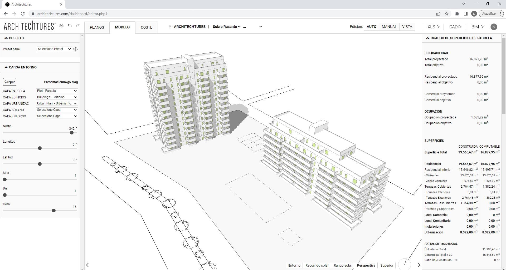
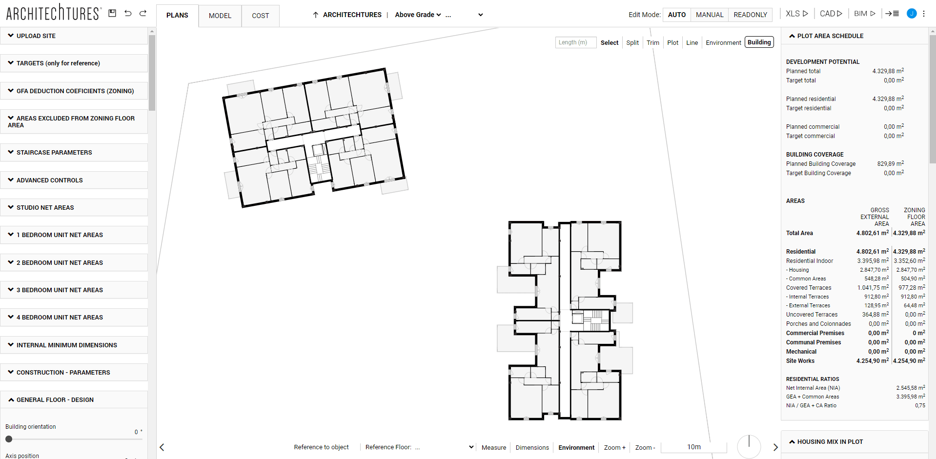
With this tool, architects or real estate developers can obtain a detailed representation of the surrounding area, including plots, buildings, streets, trees, and, most importantly, the existing topography. Topography is a key factor in the early stages of design, as it directly influences the location and adaptation of buildings to the terrain. This feature offers a significant advantage, enabling architects to work from a precise and realistic base from the start, streamlining the planning process.
Once the environment is imported, ARCHITEChTURES not only positions the buildings efficiently but also automatically staggers them to align with the elevation points of the actual terrain. This ensures that each structure fits naturally and accurately with the landscape, eliminating the need for manual intervention.
This system greatly simplifies the work, as the implantation design is done automatically and accurately. Additionally, in the video included in the article, you can see how the automatic staggering works when positioning buildings within a plot. In a future video, we’ll go deeper into how to work with leveling platforms, an essential topic to understand how to further optimize this type of integration.
If you haven’t yet explored the benefits of automatic import with OpenStreetMap and building staggering in ARCHITEChTURES, we invite you to give it a try. This functionality can transform your workflow, saving you time and ensuring more accurate, terrain-adapted results.